Revolutionizing Documentation: UAV Remote Sensing for As-Found and As-Built Records
- Brad
- Jul 7, 2023
- 3 min read
Updated: Oct 18, 2023
Efficiency, Accuracy, and Collaboration: UAV Remote Sensing Transforms As-Found and As-Built Documentation
Accurate documentation of structures is essential for various industries, including construction, engineering, and infrastructure development. Traditionally, capturing as-found and as-built information involved manual surveys, measurements, and time-consuming data processing. However, the emergence of UAV (Unmanned Aerial Vehicle) technology and remote sensing capabilities has transformed the documentation process. UAV remote sensing provides an efficient and accurate method for capturing as-found and as-built records, revolutionizing the way industries document and archive crucial information. In this article, we will explore how UAV remote sensing is revolutionizing as-found and as-built documentation.
Rapid and Accurate Data Acquisition:
UAVs equipped with advanced remote sensing technologies, such as high-resolution cameras, LiDAR (Light Detection and Ranging), and laser scanners, enable rapid and accurate data acquisition for as-found and as-built documentation. The UAVs can quickly capture detailed imagery, 3D point clouds, and other sensor data, providing a comprehensive representation of the structure. This capability significantly reduces the time required for data collection compared to traditional manual methods, allowing for faster project timelines and increased productivity.
Improved Data Accuracy and Detail:
UAV remote sensing facilitates highly accurate and detailed documentation. The high-resolution imagery and point cloud data captured by UAVs ensure precise measurements and detailed visual representations of the structure. This level of accuracy is especially valuable for complex and large-scale projects where manual surveys may be prone to human errors or limitations. UAVs can capture data from various angles and perspectives, allowing for a comprehensive and thorough documentation of the structure's physical attributes, features, and condition.
Enhanced Safety and Accessibility:
UAV remote sensing eliminates the need for personnel to physically access hard-to-reach or hazardous areas during documentation processes. This technology enables the capture of data from aerial perspectives, which often provide a better overview of the entire structure. UAVs can navigate complex environments, fly close to structures, and capture data from angles that were previously challenging to access. By reducing the need for manual inspections in dangerous areas, UAV remote sensing improves safety for personnel involved in the documentation process.
Streamlined Data Processing and Integration:
UAV remote sensing simplifies data processing and integration into documentation workflows. With advanced software tools and algorithms, the collected data can be efficiently processed, analyzed, and integrated into as-found and as-built records. The automation of data processing tasks, such as point cloud registration, feature extraction, and 3D modeling, reduces human error and expedites the generation of accurate documentation. This streamlined process ensures that the collected data is readily available for further analysis, archiving, or integration with other project documentation systems.
Enhanced Collaboration and Communication:
The utilization of UAV remote sensing for as-found and as-built documentation facilitates improved collaboration and communication among project stakeholders. The captured data can be easily shared and visualized, allowing multiple parties to access and review the documentation remotely. This promotes efficient decision-making, reduces misunderstandings, and enables stakeholders to have a shared understanding of the structure's condition and changes over time. By fostering effective collaboration, UAV remote sensing enhances project coordination and mitigates potential disputes or delays.
Conclusion:
UAV remote sensing has revolutionized the as-found and as-built documentation processes by providing rapid, accurate, and detailed data acquisition. The use of advanced remote sensing technologies in UAVs enables industries to efficiently capture and record the physical attributes and condition of structures. With improved safety, accessibility, and streamlined data processing, UAV remote sensing enhances collaboration, decision-making, and project outcomes. As this technology continues to advance, we can expect further optimizations and integrations, unlocking new possibilities for accurate and efficient as-found and as-built documentation.

Photogrammetry model of a local University.


Photogrammetry model of a local University.

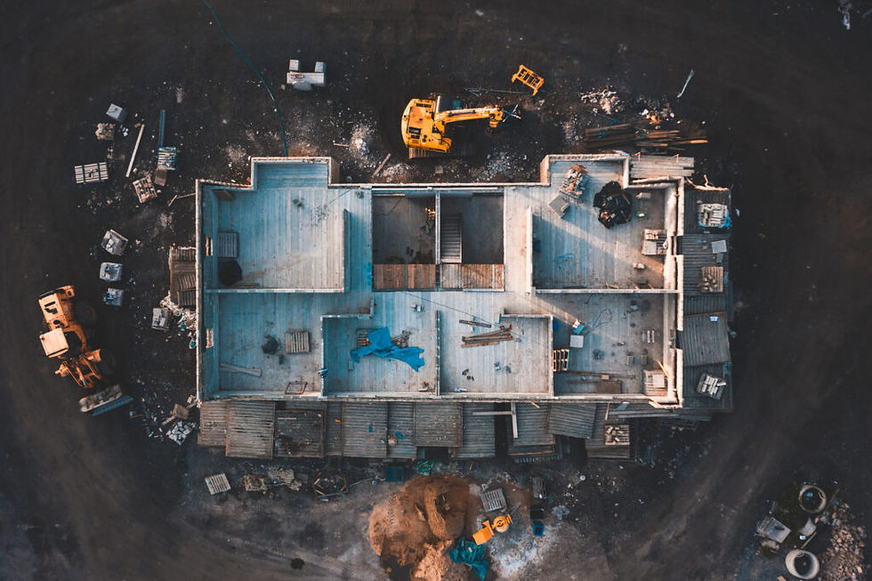
Aerial imagery of a construction site.

Photogrammetry model being utilized for facade inspection.


Comments